About Xatt L-Aħmar
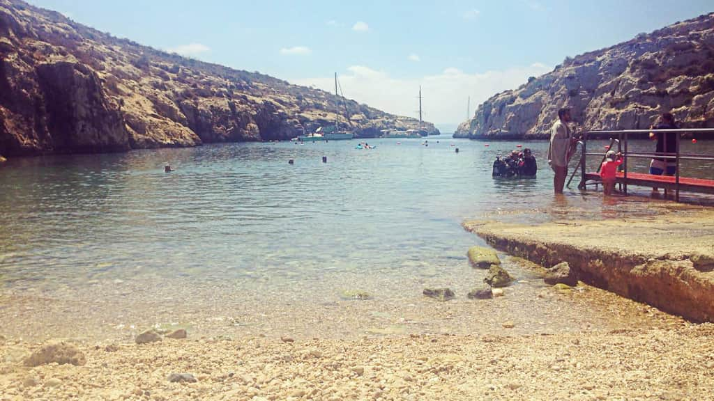
Xatt l-Aħmar, the red shore in Maltese, is a small rocky bay on Gozo's south-east coast below Għajnsielem, a short drive from the Mġarr ferry harbour. It takes its name from the reddish clay slopes behind the shore. There is no sand: just pebbles, flat rock, a small concrete pier and old salt pans cut into the rock.
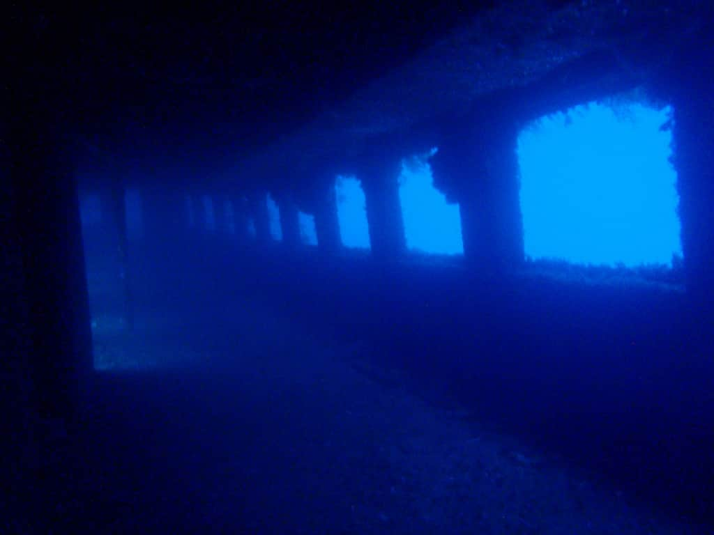
Most people who come here are divers. Several old vessels were scuttled just offshore as artificial reefs, and the bay is set up for shore diving, with space to kit up beside the road. Swimmers who make the long drive down get clear water and far fewer people than at Gozo's better-known bays.
What Xatt l-Aħmar is like
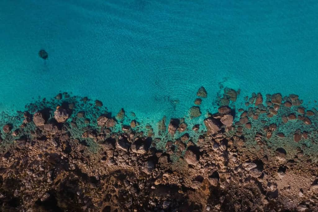
The shore is a mix of pebbles and rocky ledges, with the pier giving the easiest way into the water and a good place to jump from. The seabed drops away steadily, with rock and seagrass close in and sand further out where the wrecks lie. The clay slopes and the salt pans give the bay its character; walk carefully on the pans, which are slippery and are part of the area's heritage.
It is a quiet place, with no buildings on the shore and only basic facilities. Boats like to anchor here because the bay is roomy and calm in the prevailing wind.
When to go to Xatt l-Aħmar
The bay faces south-east, across the channel towards Malta. It is sheltered in north-westerly, northerly, north-easterly and easterly winds, which makes it a good choice on the many summer days when the north-westerly is blowing. Avoid it in south-easterly, southerly or south-westerly winds, which bring waves straight onto the shore; a westerly can make it choppy.
It is rarely crowded, even in August, though dive groups arrive throughout the day, especially in the mornings and at weekends. Diving carries on all year, so you may find people here in winter too.
Swimming and safety at Xatt l-Aħmar
Get in from the pier or from the flat rocks, and wear water shoes on the pebbles. The water deepens fairly quickly, and there is no lifeguard. Divers enter and exit from the same places as swimmers and surface from the wrecks offshore, so look out for dive flags and surface marker buoys and keep away from them.
The wrecks are deep dives. The ferries Karwela and Cominoland were scuttled side by side in 2006 at about 40 metres, and the old Gozo ferry Xlendi, sunk in 1999, lies upside down nearby. They are for qualified, experienced divers, usually with a local dive centre. Snorkellers will still see fish and seagrass in the shallows along the rocks.
Things to do near Xatt l-Aħmar
A coastal path heads west from the bay along the cliffs to Mġarr ix-Xini and its watchtower, a walk with views across to Comino and Malta. Ramla taż-Żewwieqa, a small beach at Mġarr harbour, is the nearest place to swim in town, and Ħondoq ir-Rummien, a popular swimming bay on the far side of Mġarr, is a short drive away.
There is nowhere to buy food or drinks at the bay, so bring water and snacks, and come prepared for shade. Għajnsielem and Mġarr harbour, a few minutes' drive back up the hill, have cafés, shops and restaurants.
Frequently asked questions
Is Xatt l-Aħmar sandy?
No. It's a rocky beach with pebbles.
Can you swim at Xatt l-Aħmar?
Yes. The bathing water is rated excellent, but there's usually no lifeguard.
Is Xatt l-Aħmar good for diving?
Yes. It's one of Gozo's best-known dive sites, with the Karwela, Cominoland and Xlendi wrecks and the Hephaestus tanker offshore. Most of the wrecks are deep dives for experienced divers.
Why is it called Xatt l-Aħmar?
The name means the red shore in Maltese, after the reddish clay slopes behind the bay.
Can beginners dive at Xatt l-Aħmar?
The wrecks lie at around 40 metres, so they are for experienced divers. Beginners can try the shallower rocky reef close to shore with a dive centre.