About Imġiebaħ Bay
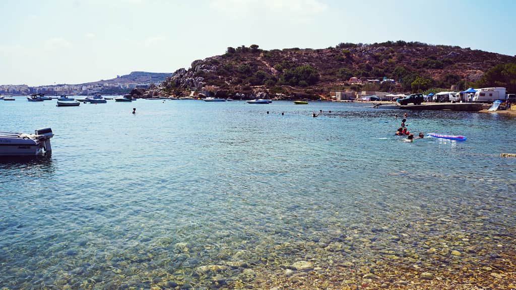
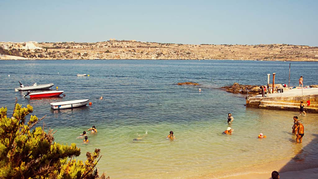
Imġiebaħ Bay, also called Selmun Bay, is an undeveloped bay on Malta's north-east coast below the Selmun plateau, about 1.5 km from Mellieħa as the crow flies. A beach of roughly 200 metres of sand and pebbles sits at the mouth of the Mġiebaħ valley, between limestone cliffs and terraced farmland. The ruins of a 17th-century watchtower stand on the slope above.
There are no buildings, kiosks or sunbeds, which is exactly why people come. It is a place for a quiet swim, a picnic and a walk in the countryside, with clear water on calm days and views towards St Paul's Islands. The bay lies within a Natura 2000 Special Area of Conservation, and the paths around it pass Roman-era remains and Second World War defences.
What Imġiebaħ Bay is like
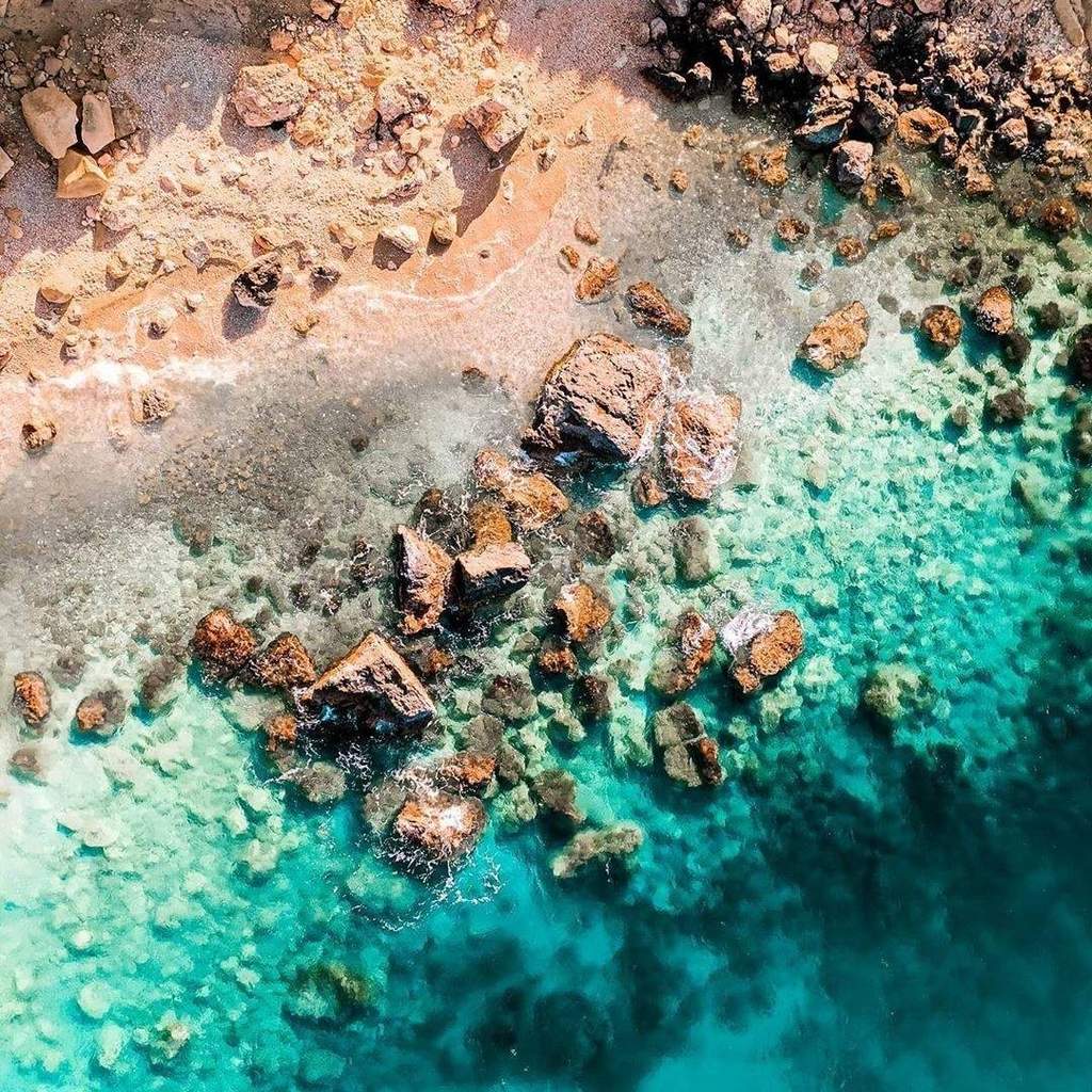
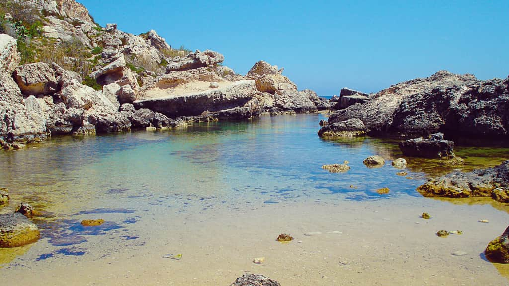
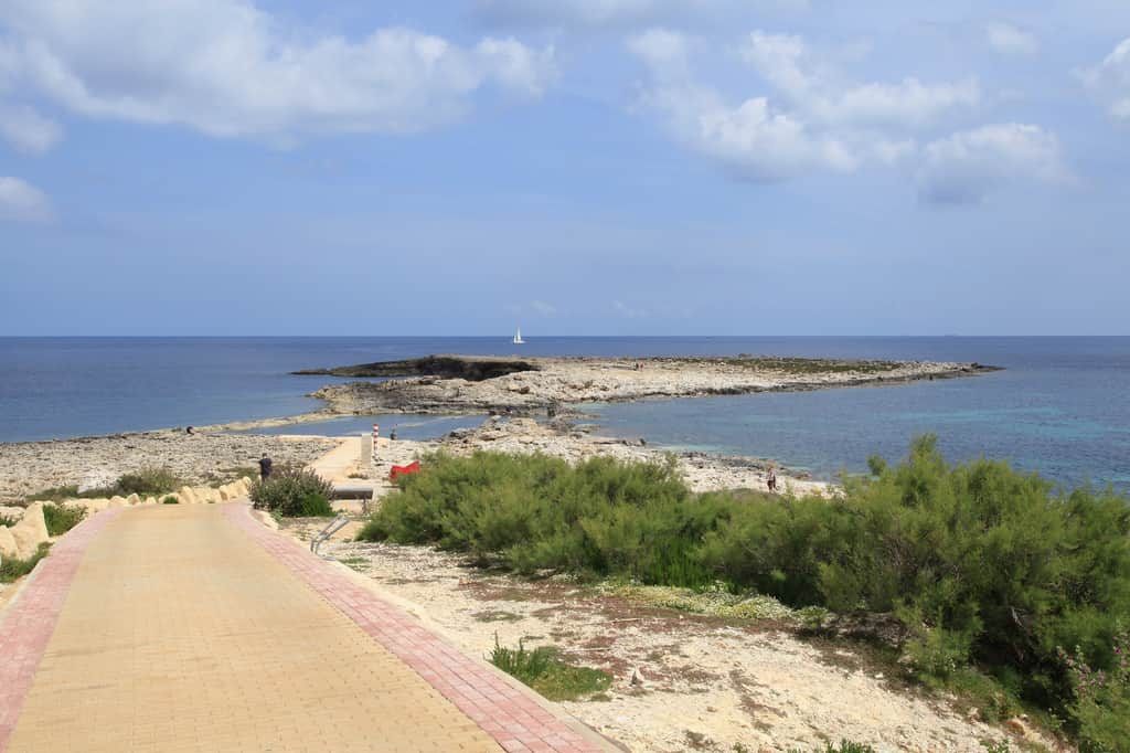
The beach is a mix of sand and pebbles, coarser on the eastern side, with dark yellow sand gathering at the back below the slope. To one side is a section of flat limestone rock, which some visitors prefer to the sand and which offers a little shade. Ras il-Griebeġ forms the northern headland, the Mġiebaħ valley runs inland to the north-west, and the slopes around are covered in rubble-walled fields and garigue.
Because there is no development, what you bring is what you get: no toilets, no bins worth relying on and no lifeguards. The upside is space. Even on summer Saturdays there are often only a handful of people on the beach while Golden Bay and Mellieħa Bay are packed. It is dog-friendly and popular with walkers stopping for a swim.
When to go to Imġiebaħ Bay
Imġiebaħ faces north-east, so it is at its best in south-easterly, southerly, south-westerly or westerly winds, which blow from the land and leave the water calm. Avoid it in north-westerly, northerly, north-easterly or easterly winds, which bring swell into the bay; it is even listed as an occasional surf spot. Since the north-westerly is Malta's most common wind, pick a day with a southerly or westerly breeze, when the west coast is rough but this side of the island is flat.
Early morning is the best time: it is cooler for the walk down, quieter, and the water is at its clearest. In midsummer the path and beach get very hot with no shade, so avoid arriving at midday. Spring and autumn are good for combining a swim with a walk on the Selmun paths, but the tracks can be slippery after rain.
Swimming and safety at Imġiebaħ Bay
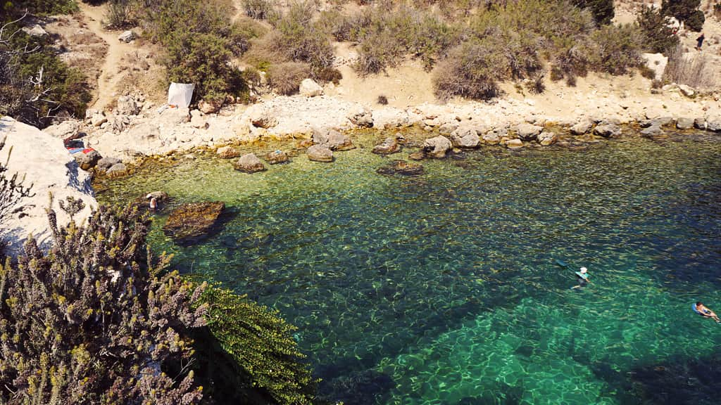
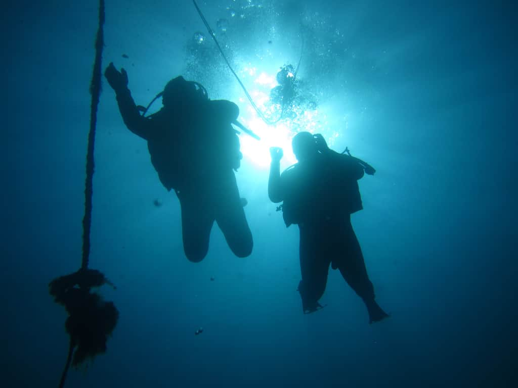
On calm days the bay is good for swimming and snorkelling, with clear water over a mixed sand and rock seabed. The rocks at each end are the most interesting areas to snorkel. There are no lifeguards and no flags, and the nearest help is a long way up the hill, so swim within your limits, avoid going out alone, and stay out when waves are rolling in from the north or east.
Wear proper shoes: the path is rough and the seabed is rocky in places. The cliffs above are unstable, and studies have recorded landslide movement around the tower ruins, so do not sit directly beneath them or climb them. Bring more water than you think you need for the climb back, plus a basic first-aid kit.
Things to do near Imġiebaħ Bay
On the slope above the bay are the ruins of Għajn Ħadid Tower, built in 1658 as the first of the De Redin coastal watchtowers. Its upper floor collapsed in the 1856 earthquake centred off Crete, and only the base remains. On the approach road you pass a Second World War pillbox, camouflaged with rubble stone, built early in the war when an invasion looked likely. Above the valley, a path leads to the Mġiebaħ Roman apiaries, rock-cut beehive structures, and nearby dwellings.
Selmun Palace, an 18th-century country house built for the Knights, stands on the plateau above. BirdLife Malta runs guided walks here, including a Selmun loop through the valley to the bay and a harder route from Mistra Bay past Mistra Battery, with views of St Paul's Islands. Motocross bikes have rutted some of the coastal paths, so expect rough ground.
Frequently asked questions
How do you get to Imġiebaħ Bay?
By car or scooter via Selmun, followed by a short walk down a path. There is no bus, and the access road is very narrow.
Is Imġiebaħ Bay sandy?
Partly. There is a sandy section and an area of flat limestone rocks.
Are there facilities at Imġiebaħ Bay?
No. There are no kiosks, toilets or lifeguards, so bring food, water and shade.
Is Imġiebaħ Bay the same as Selmun Bay?
Yes. Imġiebaħ (also written Mġiebaħ) Bay is often called Selmun Bay after the plateau and palace above it.
Can you snorkel at Imġiebaħ Bay?
Yes, on calm days. The rocky ends of the bay are the best spots, but there are no lifeguards, so do not snorkel alone.
Is Imġiebaħ Bay crowded?
Rarely. Because there are no facilities and it takes a walk to get down, even summer weekends usually see only a few groups on the beach.