About Xrobb L-Għaġin
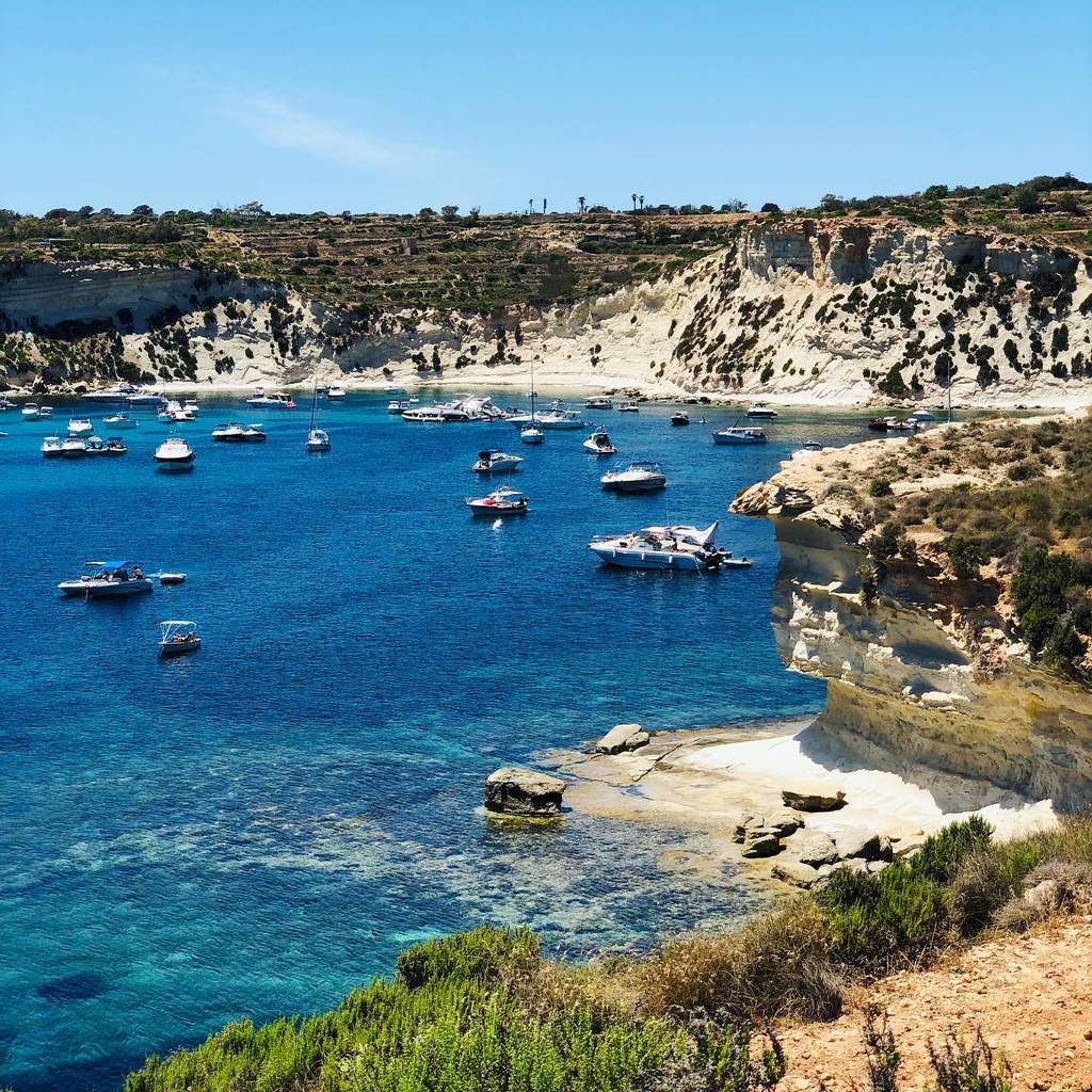
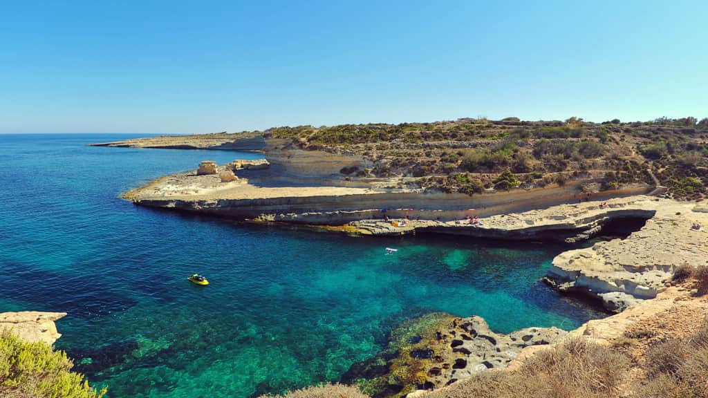
Xrobb l-Għaġin is a small, flat-topped limestone peninsula on Malta's south-east coast, between St Thomas Bay and the Delimara peninsula, within Marsaxlokk. Most of it is a nature park of about 155,000 square metres, set up on the site of a former radio relay station and run as a centre for sustainable development, with garrigue, old salt pans and wide views along the coast.
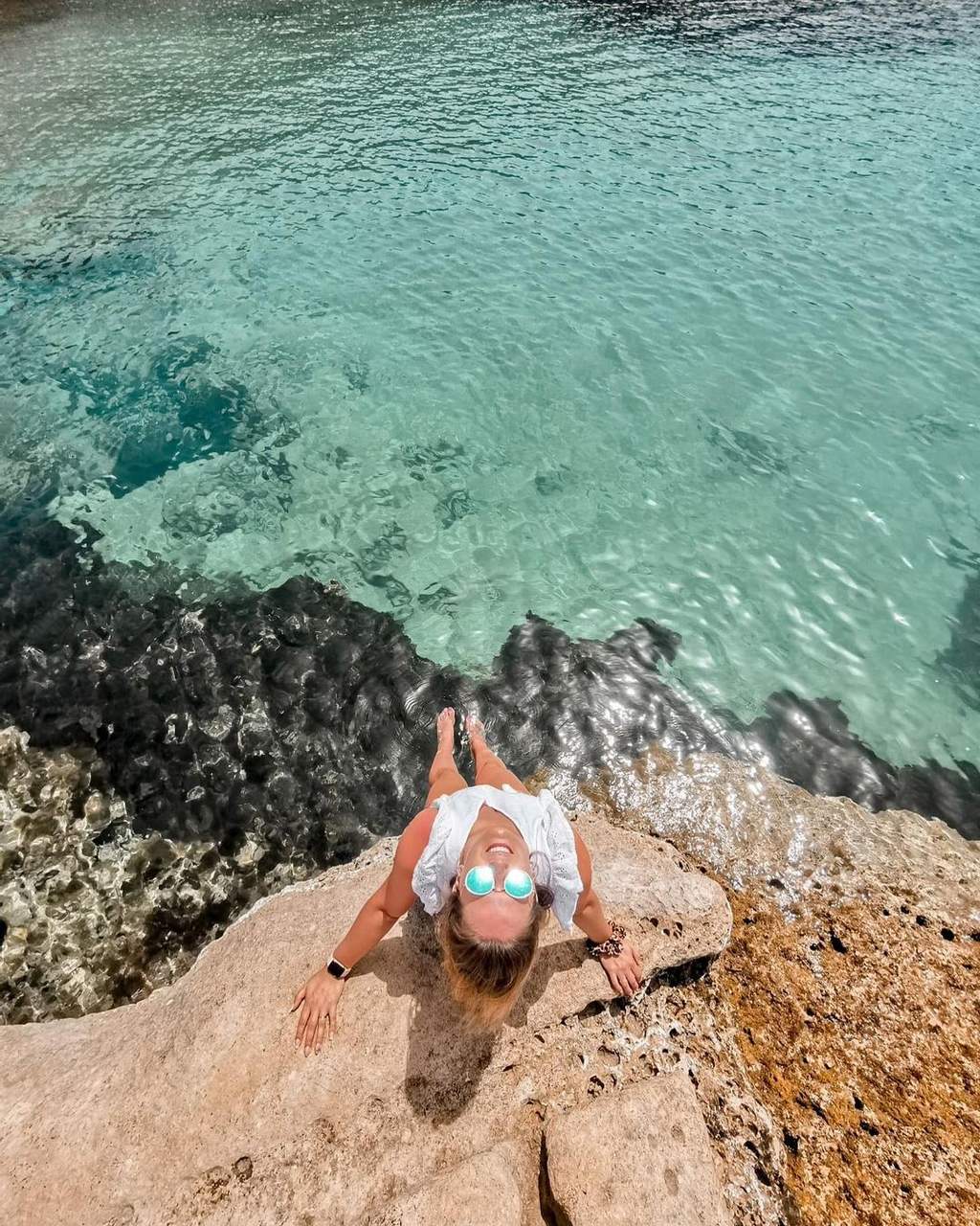
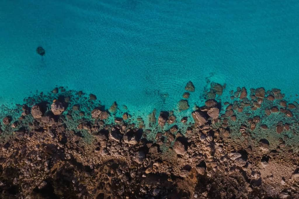
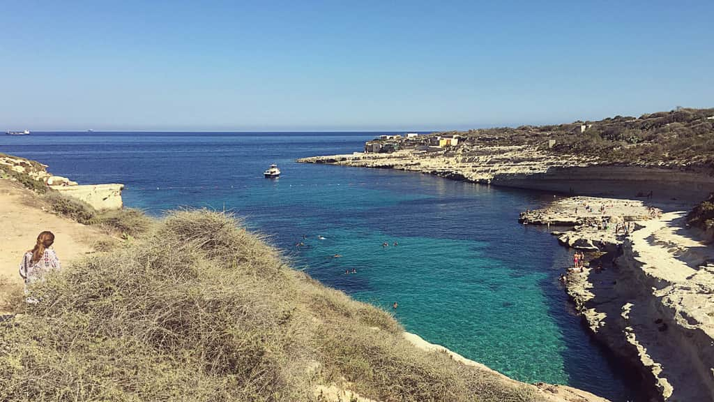
This is a place for a walk with a swim at the end of it, not a beach. The shore is bare, eroding rock with deep water below, there are no facilities by the sea, and you will usually have the coast to yourself apart from a few anglers and the odd boat at anchor.
What Xrobb l-Għaġin is like
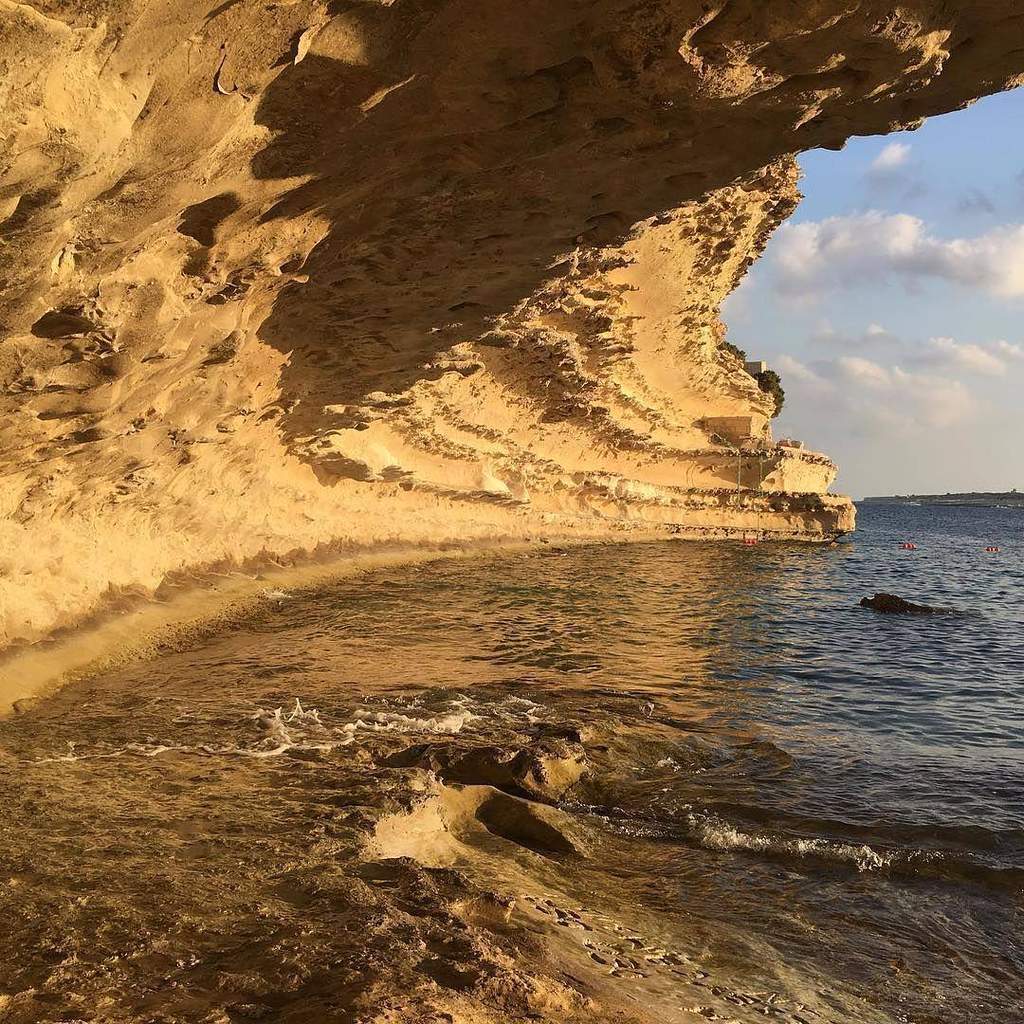
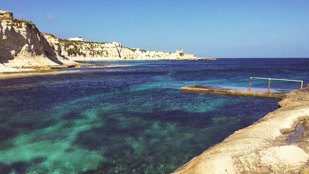
The peninsula is about 650 metres long and rises only about 30 metres above the sea, with low cliffs and rock shelves all round its 2 km of coast. The rock is soft globigerina limestone that erodes quickly, so edges crumble and overhangs are common. Swimmers get in from the flatter shelves and rock pools into open, deep water, where the seabed is rock and boulders.
Above the shore, the park has walking paths across garrigue, salt pans that are still worked, and the remains of old military entrenchments. On clear days the views reach the natural arch at Ras il-Fenek and the white cliffs of Munxar.
When to go to Xrobb l-Għaġin
The peninsula faces south-east into open sea. It is calm in westerly, north-westerly, northerly and north-easterly winds, so it is often swimmable on a typical summer day. Avoid it in south-easterly or southerly winds, and expect it to be choppy in an easterly or south-westerly.
There is no shade at all on the rocks, so summer middays are fierce; go early or in the late afternoon. Spring and autumn are the most comfortable seasons for the walk. The park gates keep set hours, so time your visit so you are not locked in.
Swimming and safety at Xrobb l-Għaġin
Only swim here if you are confident in deep water. There are no ladders, no lifeguard and no sheltered entry, and help is a long way off. Pick a calm day, wear water shoes, and check before you get in that you can climb back out at the same place.
Stay well back from the cliff edges, which are crumbling, and do not walk on overhangs. The prehistoric temple site at the edge of the cliff has largely fallen into the sea and is not open to visitors.
History at Xrobb l-Għaġin
The cliff-top once held a Neolithic temple, with remains dating back to around 4000 BC. It was identified in 1913 and excavated in 1914 and 1915, but erosion has since destroyed most of it. A large pitted stone slab from the site is in the National Museum of Archaeology in Valletta.
The scarped base of a 1659 watchtower, one of the De Redin towers, survives near the park, with the outline of an entrenchment added in 1761. From 1974 to 1995 the peninsula hosted a German radio relay station broadcasting to North Africa and the Middle East. Its main building now houses the park's centre. St Peter's Pool, a popular swimming spot with flat rock ledges, is about a kilometre away on Delimara.
Frequently asked questions
Can you swim at Xrobb l-Għaġin?
Yes, from the rocks into deep water. There's no sand, no lifeguard and no sheltered entry, so pick a calm day.
Is there parking at Xrobb l-Għaġin?
Yes, free parking at the nature park entrance, subject to the park's seasonal opening hours.
Is Xrobb l-Għaġin sandy?
No. The coast is all limestone rock and rock pools.
Is there anything to see at Xrobb l-Għaġin besides the sea?
Yes: walking paths, working salt pans, the ruins of a 1659 watchtower and wide coastal views. The Neolithic temple site has mostly eroded into the sea and is not open to visitors.
Which wind is best for swimming at Xrobb l-Għaġin?
Westerly, north-westerly, northerly or north-easterly winds. Avoid it in south-easterly or southerly winds.
Is Xrobb l-Għaġin near St Peter's Pool?
Yes. St Peter's Pool is about a kilometre away on the Delimara peninsula and has easier rock ledges for swimming.